Cinto
Location
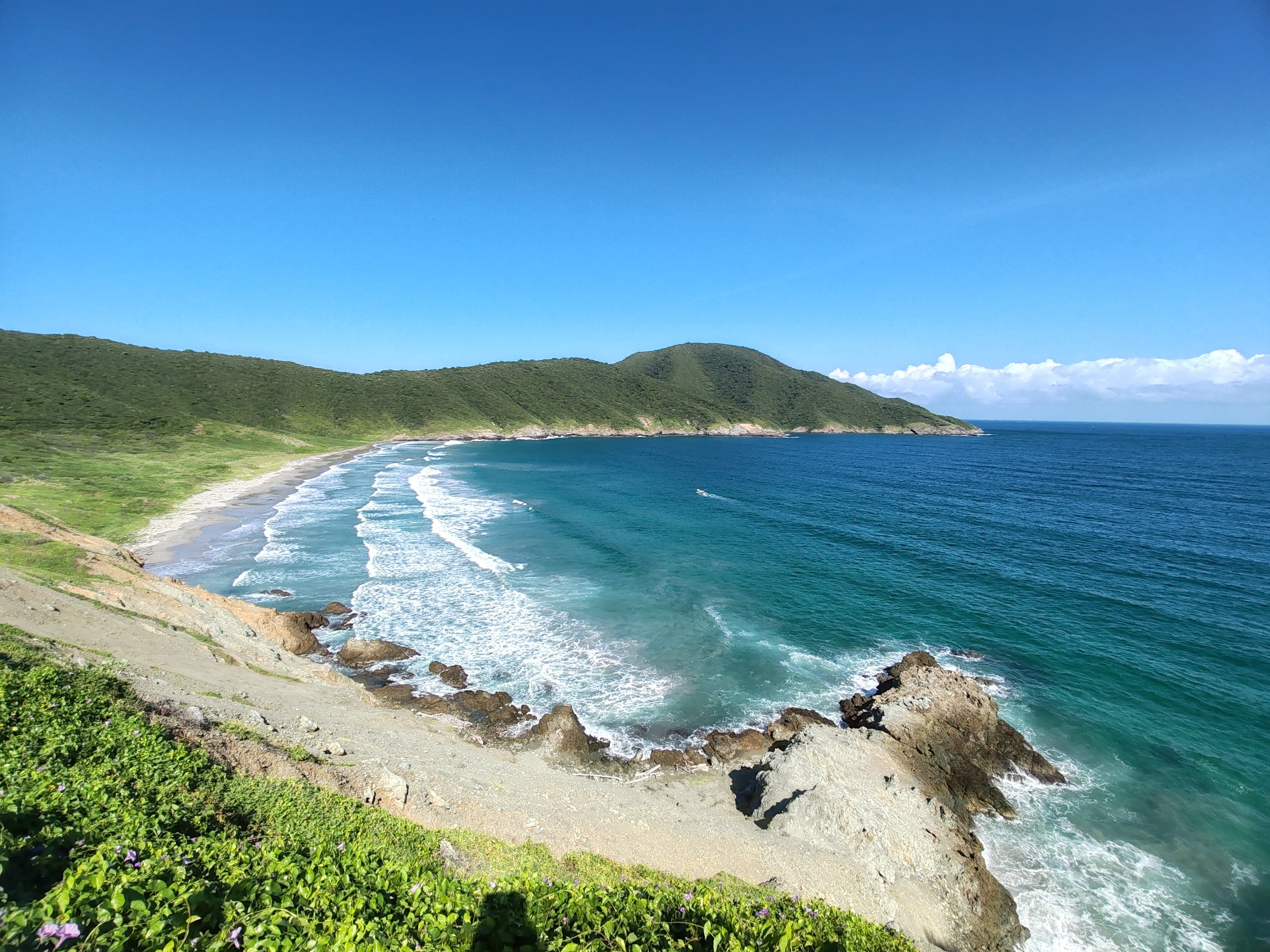
Cinto Bay, Tayrona National Park
Distance
36 km / 22.4 mi
Difficulty
Moderate hike
Highlights
Boat-access beach
Current temperature at this beach
Temperature
25.7°C
Humidity
75%
Rain
0.0 mm
Updated
Jun 24, 3:00 AM
For full cross-beach comparison and 7-day averages, open the beaches temperature hub.
Cinto is one of Tayrona's more coveted boat-access beaches and one of the strongest advanced-user beaches you are missing. It is generally thought of as a more remote, cleaner, more exclusive-feeling Tayrona beach experience, especially for people prioritizing snorkeling and a less crowded feel.
To decide this beach properly today, combine live map + water temperature + live weather + Santa Marta facts.
Highlights
Interactive marine forecast
Dynamic coordinates: 11.3187, -74.1181
Loading marine conditions...
Beach map
Nearby beaches
Plan your visit
Best time to visit
Calm-weather mornings
Entrance fee
Not specified
Closure dates
Not specified
Getting there
Usually reached by boat from Santa Marta, Taganga, or Tayrona-side marine routes, often via the Palangana/Neguanje logistics.
Insider tip
Book Cinto when sea conditions are good and you want a more remote boat-access beach with better odds of a low-crowd day.
Warnings
- Access depends on sea conditions and organized transport
- Not as easy to reach as mainstream Santa Marta beaches
Where to eat near Cinto
After your beach block, use these dining guides by zone and trip style: beachfront meals, seafood priorities, or neighborhood comparisons with different logistics.
Keep planning your route
Suggested hotels near this area