Playa Brava
Location
Calabazo Sector, Tayrona National Park
Distance
32 km / 19.9 mi
Difficulty
Challenging trek
Highlights
Remote feel
Current temperature at this beach
Temperature
23.7°C
Humidity
83%
Rain
0.0 mm
Updated
Jun 24, 6:00 AM
For full cross-beach comparison and 7-day averages, open the beaches temperature hub.
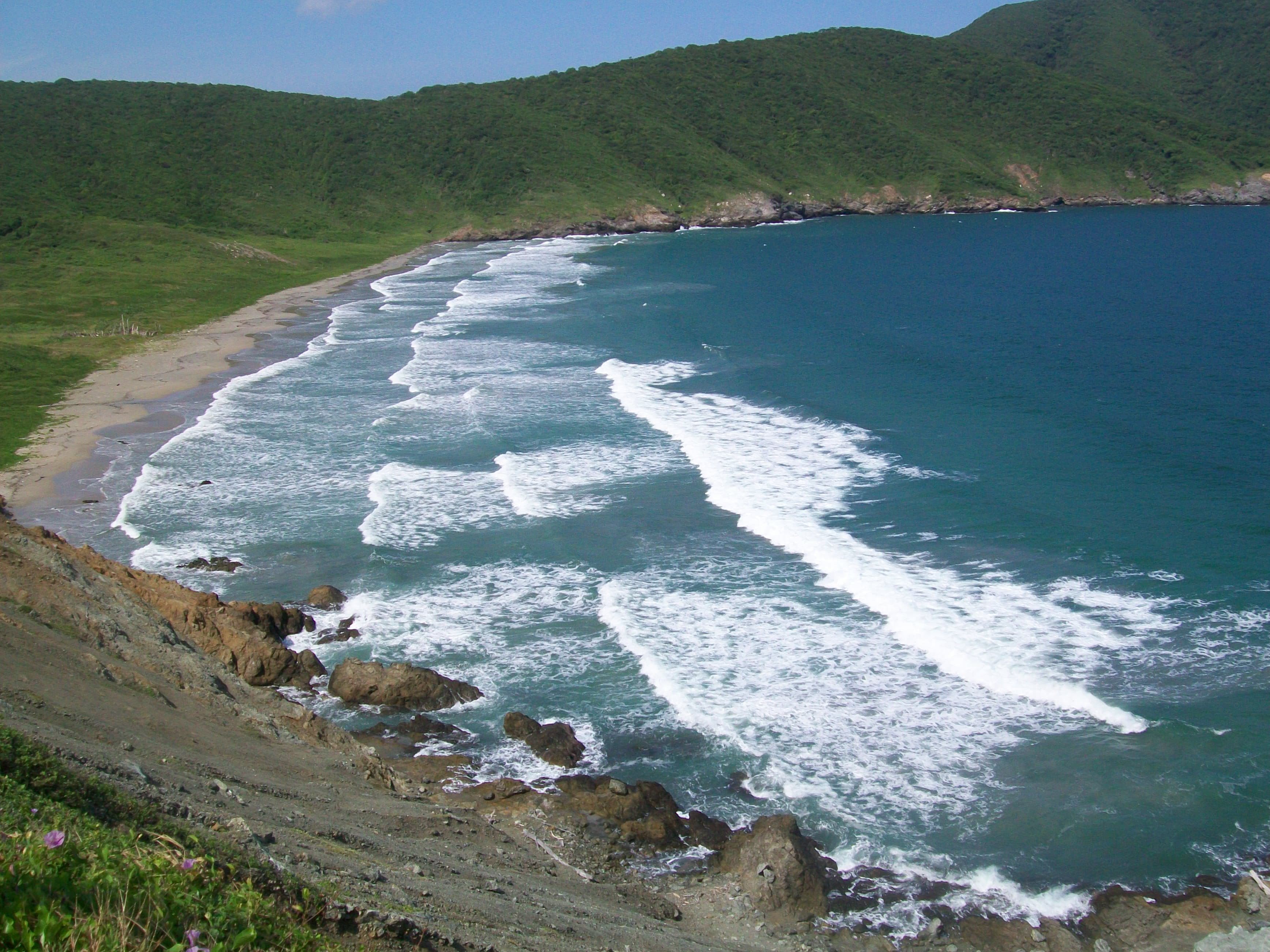
Playa Brava is one of Tayrona's more remote-feeling and less casual beaches, typically accessed through the Calabazo route rather than the standard Zaino circuit. It is best for hikers and travelers seeking a more isolated, dramatic Tayrona experience with fewer people and more effort.
To decide this beach properly today, combine live map + water temperature + live weather + Santa Marta facts.
Highlights
Interactive marine forecast
Dynamic coordinates: 11.2925, -73.9917
Loading marine conditions...
Beach map
Nearby beaches
Plan your visit
Best time to visit
Dry season with an early start
Entrance fee
Not specified
Closure dates
Not specified
Getting there
Access via the Calabazo entrance and hike in through the forested trail network.
Insider tip
Only choose Playa Brava if you want a longer hike and a quieter, more remote Tayrona day with limited services.
Warnings
- Longer access hike
- Conditions and services are more limited than the main Tayrona route
Where to eat near Playa Brava
After your beach block, use these dining guides by zone and trip style: beachfront meals, seafood priorities, or neighborhood comparisons with different logistics.
Keep planning your route
Suggested hotels near this area