Taganga Beach
Location
Taganga, Santa Marta
Distance
6 km / 3.7 mi
Difficulty
Easy access
Highlights
Diving
Current temperature at this beach
Temperature
32.3°C
Humidity
58%
Rain
0.0 mm
Updated
May 9, 11:00 AM
For full cross-beach comparison and 7-day averages, open the beaches temperature hub.
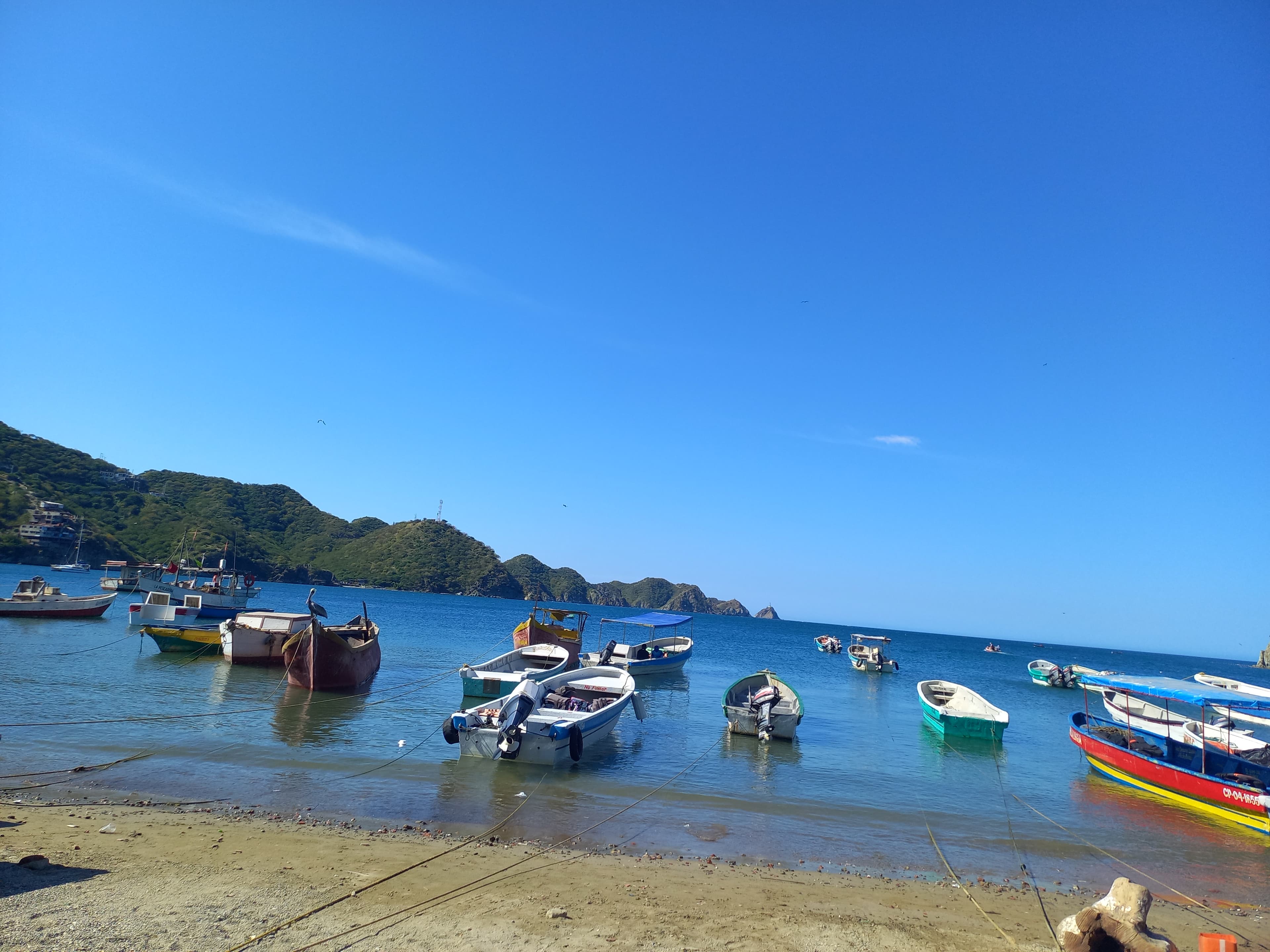
Taganga's main beach is more important as a departure point, dive town, and backpacker hub than as the best swimming beach in the region. Even so, it absolutely belongs in a full Santa Marta beach dataset. It's a compact bay lined with boats, dive shops, hostels, and seafood restaurants, and it serves as a jumping-off point for Playa Grande and boat trips toward Tayrona sectors.
To decide this beach properly today, combine live map + water temperature + live weather + Santa Marta facts.
Highlights
Interactive marine forecast
Dynamic coordinates: 11.2669, -74.1928
Loading marine conditions...
Beach map
Nearby beaches
Plan your visit
Best time to visit
Late afternoon for atmosphere, not peak midday for swimming
Entrance fee
Not specified
Closure dates
Not specified
Getting there
Frequent bus, taxi, or motorcycle taxi from Santa Marta center.
Insider tip
Use Taganga for dive shops, boat departures, and budget lodging, then move to nearby coves for a cleaner beach day.
Warnings
- Water quality and beach cleanliness can be less appealing than nearby alternatives
- Can get noisy and crowded on weekends
Where to eat near Taganga Beach
After your beach block, use these dining guides by zone and trip style: beachfront meals, seafood priorities, or neighborhood comparisons with different logistics.
Keep planning your route
Suggested hotels near this area