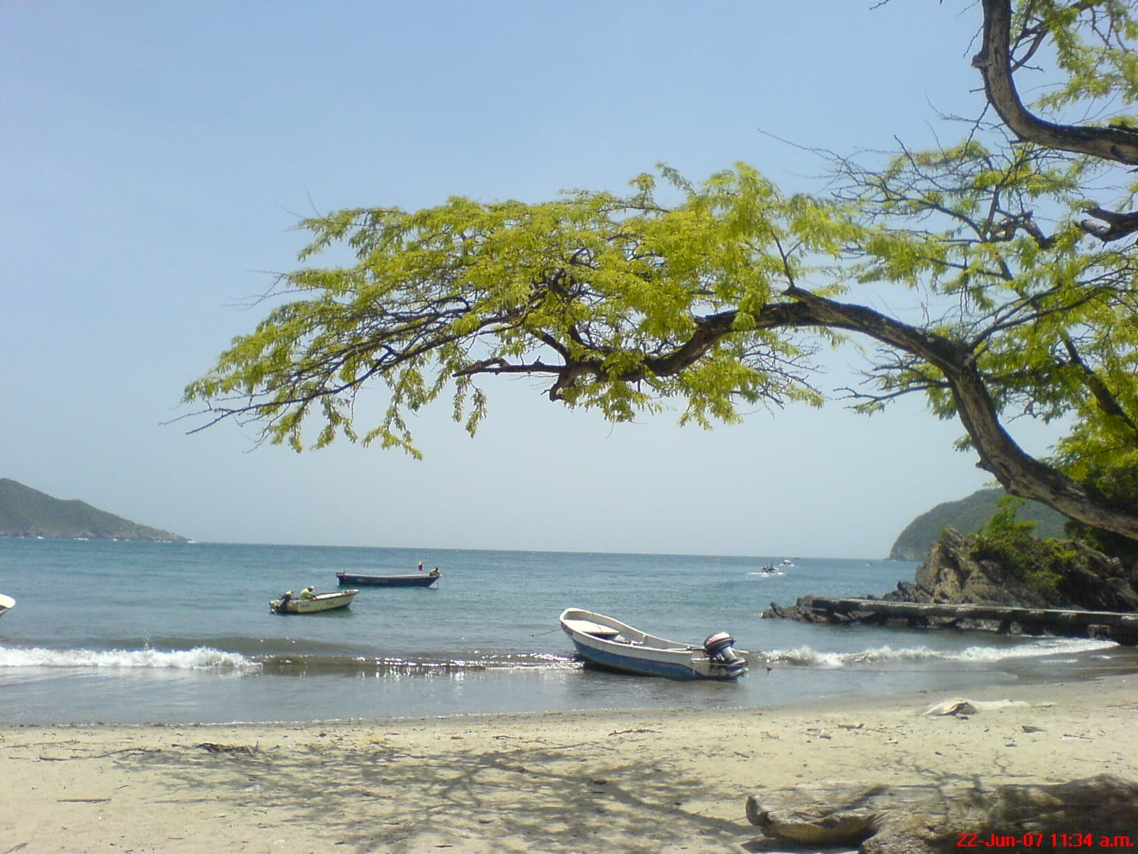
Neguanje
Location
Palangana / Neguanje Sector, Tayrona National Park
Distance
34 km / 21.1 mi
Difficulty
Easy access
Highlights
Gateway bay
Current temperature at this beach
Temperature
26.0°C
Humidity
77%
Rain
0.0 mm
Updated
Jun 24, 6:00 AM
For full cross-beach comparison and 7-day averages, open the beaches temperature hub.
Neguanje is a major Tayrona bay and transport sector that matters even when travelers are ultimately heading to Playa Cristal. It is part beach, part gateway, and part marine landscape, and it deserves its own record because many routes, boats, and overland entries revolve around it.
To decide this beach properly today, combine live map + water temperature + live weather + Santa Marta facts.
Highlights
Interactive marine forecast
Dynamic coordinates: 11.3321, -74.0918
Loading marine conditions...
Beach map
Nearby beaches
Plan your visit
Best time to visit
Morning departures
Entrance fee
Not specified
Closure dates
Not specified
Getting there
Access by road through the Palangana sector or as part of boat-based day trips.
Insider tip
Think of Neguanje as a gateway bay: arrive early, sort logistics, and connect onward to Playa Cristal or other marine sectors.
Warnings
- Some visitors use it mainly as a transfer point rather than a full-day destination
- Sun exposure is strong
Where to eat near Neguanje
After your beach block, use these dining guides by zone and trip style: beachfront meals, seafood priorities, or neighborhood comparisons with different logistics.
Keep planning your route
Suggested hotels near this area